First page Back Continue
Last page
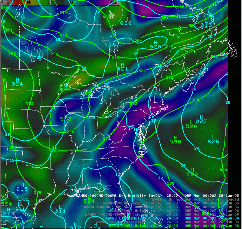
500 mb heights / sea-level pressure 6/26 to 6/28.
Notes:
The loop on this slide shows 500 mb heights and sea-level pressure valid at 00 UTC on June 26th through 12 UTC on June 28th. The synoptic pattern associated with this event featured a deep, nearly stationary mid-tropospheric trough over the Ohio Valley, and deep southerly flow over the eastern United States. Low pressure slowly organized over the southeast U.S., the moved up the coast as a tropical depression formed east of North Carolina and moved north.