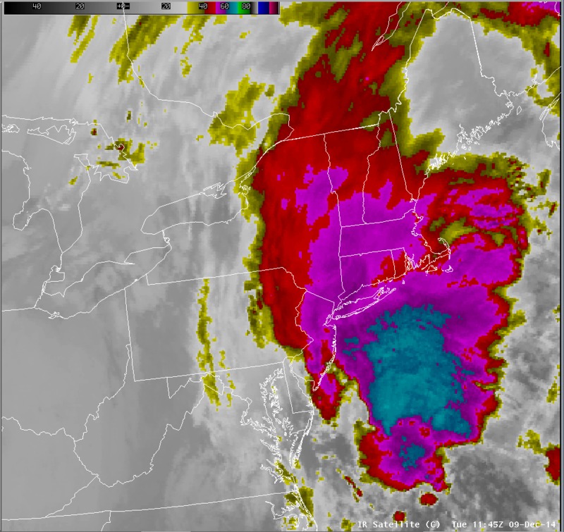
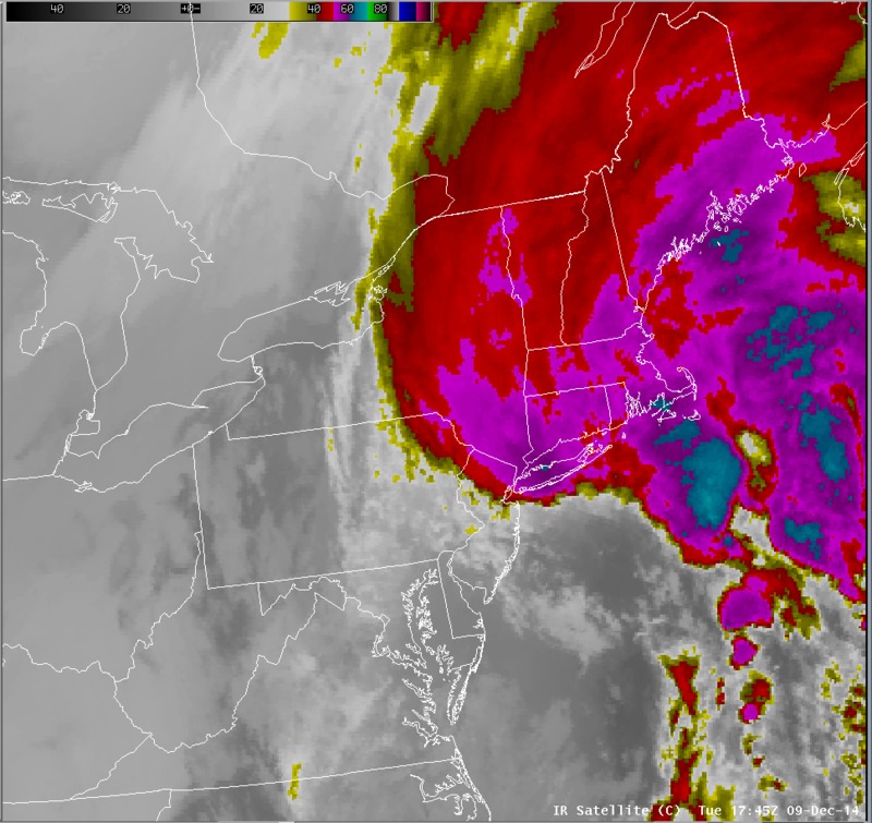
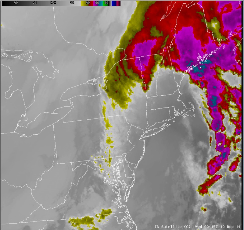
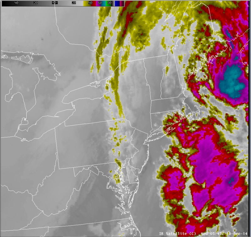
IR satellite imagery
Notes:
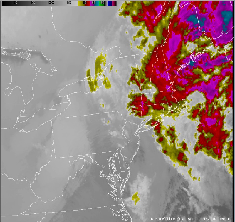
The infrared satellite imagery indicated that the deepest moisture was forecast to remain along the coast north to New England from the 9th to the 10th, however some lower clouds associated with a deformation zone west of the upper low can be seen over central New York on the 10th.
Switch images by moving your mouse pointer over numbered buttons...
|
|
|
Slide 8