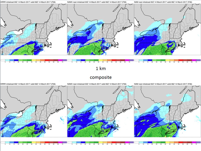
00z HRRR, NAMX and NAM reflectivity at 06z (1 km on top, composite below)
Notes:
These slides show high resolution model forecast reflectivity (1km top, composite bottom) from the HRRR, NAMX and NAM, valid at 06z. Precipitation is just starting to move north from Pennsylvania toward New York. No strong banding signals can be seen from this data.
Slide 36