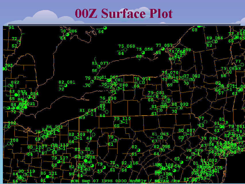
00Z Surface Plot
Slide 20 of 52
At the surface, 00Z temperatures have fallen in response to the end of daytime solar heating, but dew points remain quite high. The expected lake breeze boundary collision did occur, but because of the strong cap, no thunderstorms developed. The only storms at this time were located over northeastern Michigan and Lake Huron/Georgean Bay ahead of the cold front that was still positioned over northern Michigan at this time. Considering that even a low level boundary colision could not trigger convection, and the climatological infrequency of late night severe weather across central and eastern New York, it might appear that while showers and thunderstorms ahead of the cold front were likely across the region overnight, the likelihood of severe thunderstorms was not that great. However, much like a covered pot of boiling water, there was a substantial amount of convective bouyant energy poised and ready to explode upward if the convective lid could be removed.


