Satellite imagery - March 6, 12-18z
Notes:
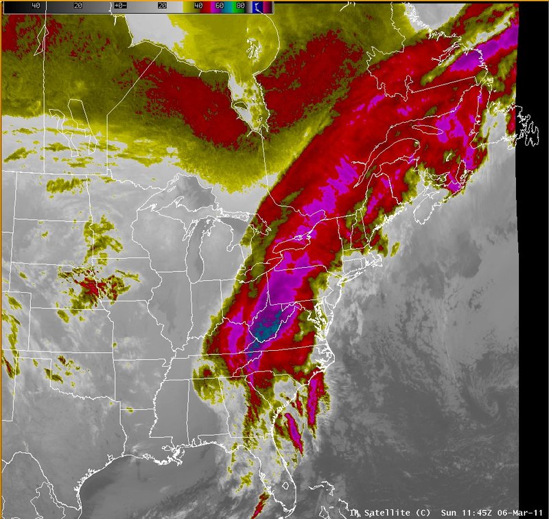
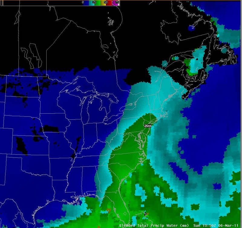
The winter storm on March 6-7, 2011 was associated with a highly-amplified trough over the mid-west, and a deep river of moisture extending from the tropics up the east coast. The blended precipitable water product indicated an axis of values around 25 mm (1 inch) extending north along the east coast.
|
Switch images by moving your mouse pointer over the links below...
IR Satellite Sun 1145 UTC 06-Mar-2011 IR Satellite Sun 1715 UTC 06-Mar-2011 Blended Total Precip Water Sun 1550 UTC 06-Mar-2011 |
|
Slide 3