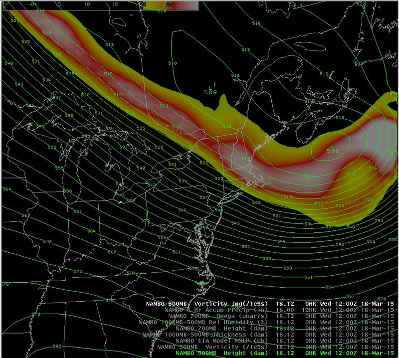
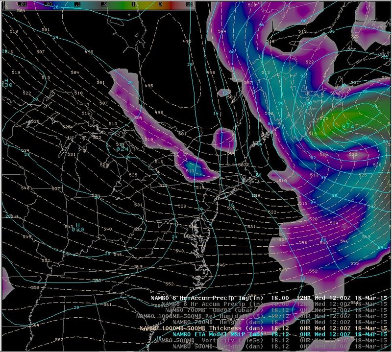
500 mb heights and vorticity, sea level pressure, 1000-500 mb thickness and NAM80 QPF
Notes:
The large-scale pattern on the 18th indicated that there would be the potential for some lake effect snow across central New York. Mid-level through surface flow was from the northwest. No significant mid-level short waves can be seen on the 500 mb chart on the left, however the large-scale sea-level pressure pattern on the right indicated the potential for an east-west oriented surface trough to drop south across central New York during the morning hours, which could possibly enhance the snowfall.
Switch images by moving your mouse pointer over numbered buttons...
|
|
|
Slide 4