Satellite Loop
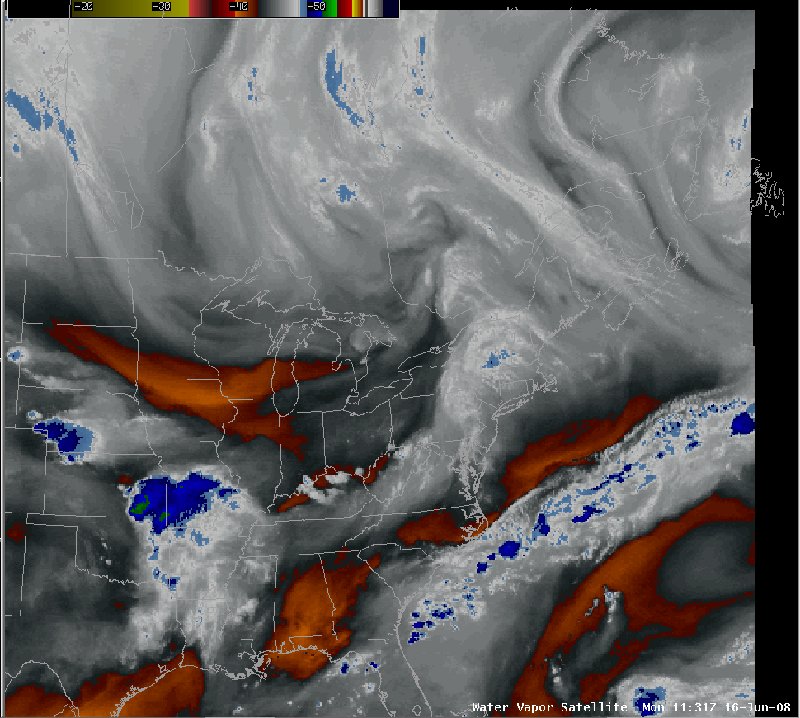
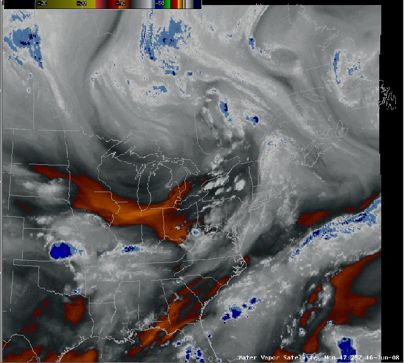
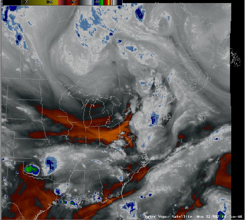
Notes:This loop of water vapor satellite imagery shows the mid-tropospheric flow pattern associated with the approaching trough. Note the pronounced surge of dry air over the upper midwest rotating eastward along the south side of the trough. |
|
Switch images by moving your mouse pointer over the links below...
Valid Mon 1131 UTC 16-Jun-2008 Valid Mon 1725 UTC 16-Jun-2008 Valid Mon 2255 UTC 16-Jun-2008 |
|
Slide 5